Drone Perspective Views & Drone 360 Views
Drone Perspective Views are used by architects and developers for 3D renders, marketing and sales purposes. The majority of our Drone perspective views are completed for large architectural and development companies, including international companies, who are building residential towers. These assignments vary from 6 story to 30 story developments. Some clients require us to capture 360 views and others just 180 degree views. Whatever your requirement, we have the solution.
Drone Perspective Views & Drone 360 Views
Drone Perspective Views
Our Perspective View Drones are fitted with a top of the line Flight Management Systems, a stabilised camera gimbals, top end cameras (36MP) and have additional equipment added to assist in the accurate and smooth capture of perspective views. Our Perspective view Drones have;
- Inbuilt GPS,
- Altitude Hold Capability,
- Dual Altimeters for Height Accuracy,
- Zenmuse Stabilised Camera Gimbals,
- Sony A7R Cameras.
Drone Perspective View Examples
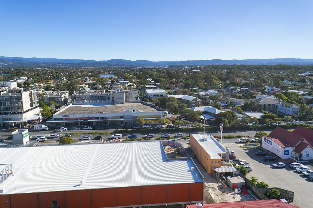
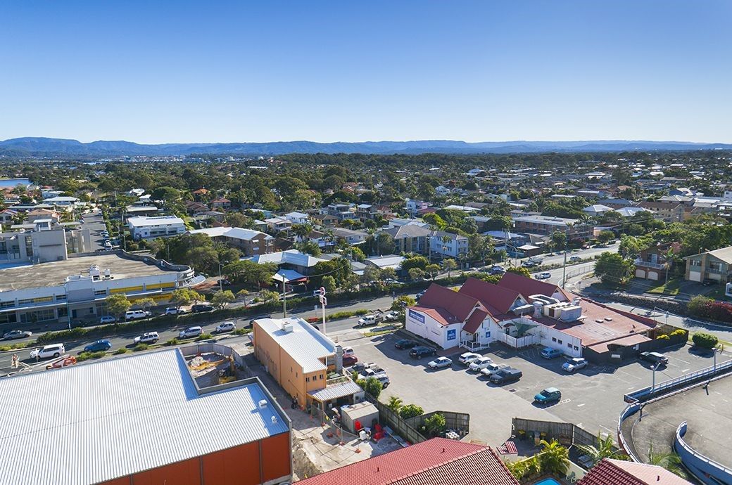
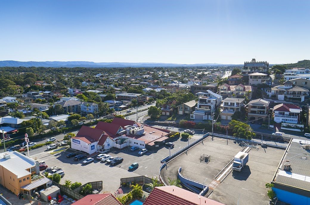
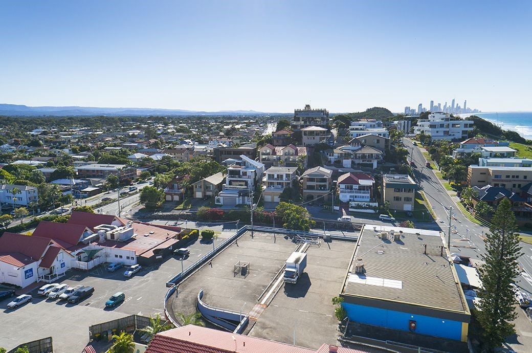
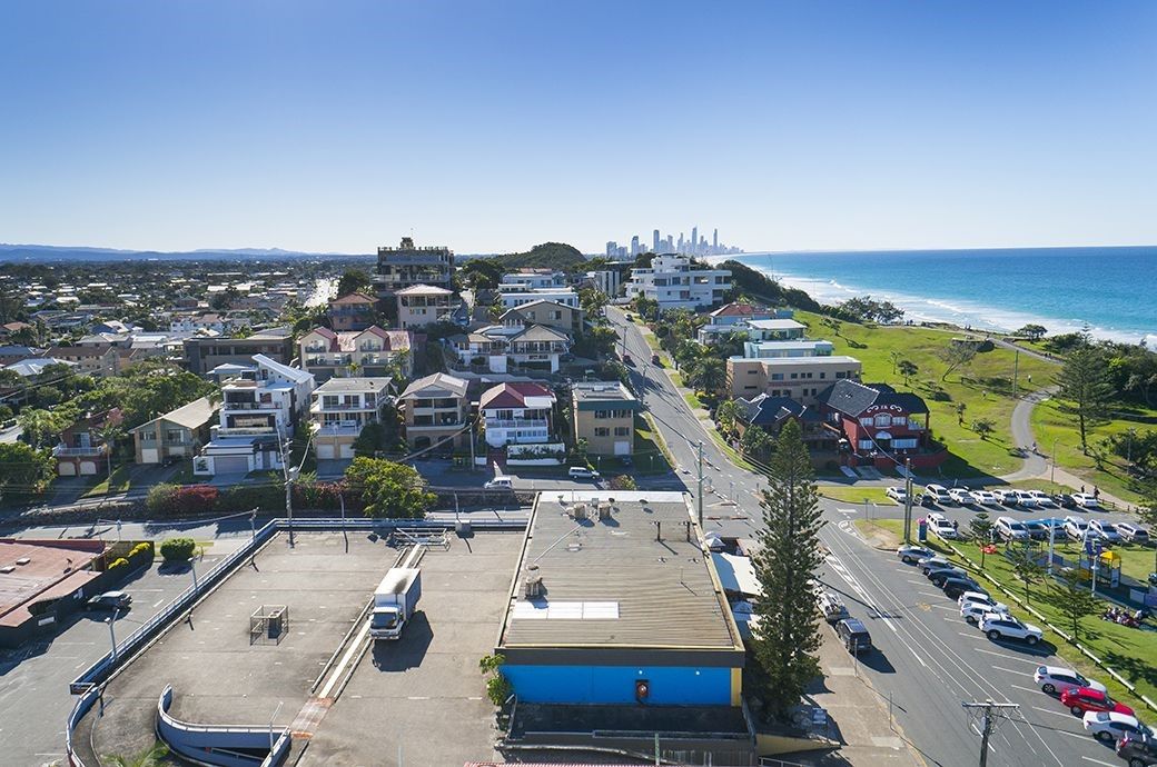
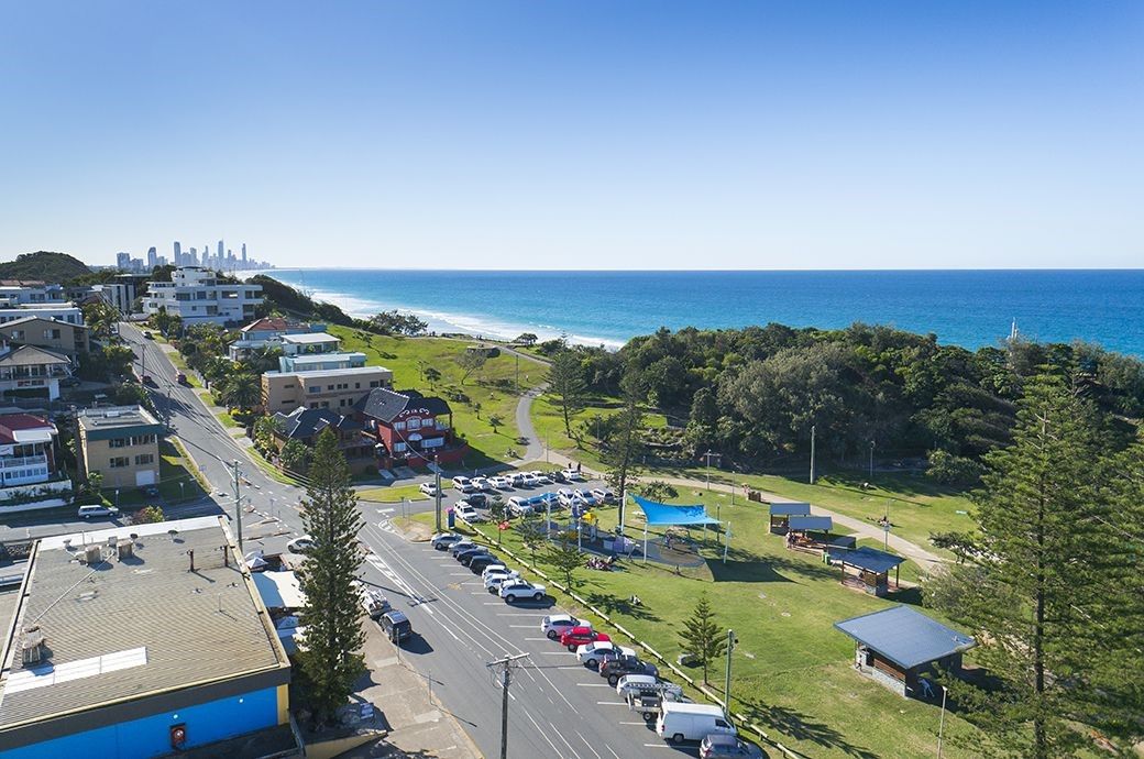
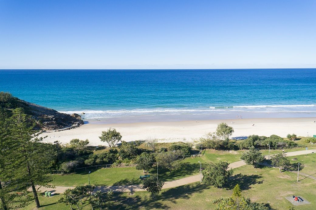
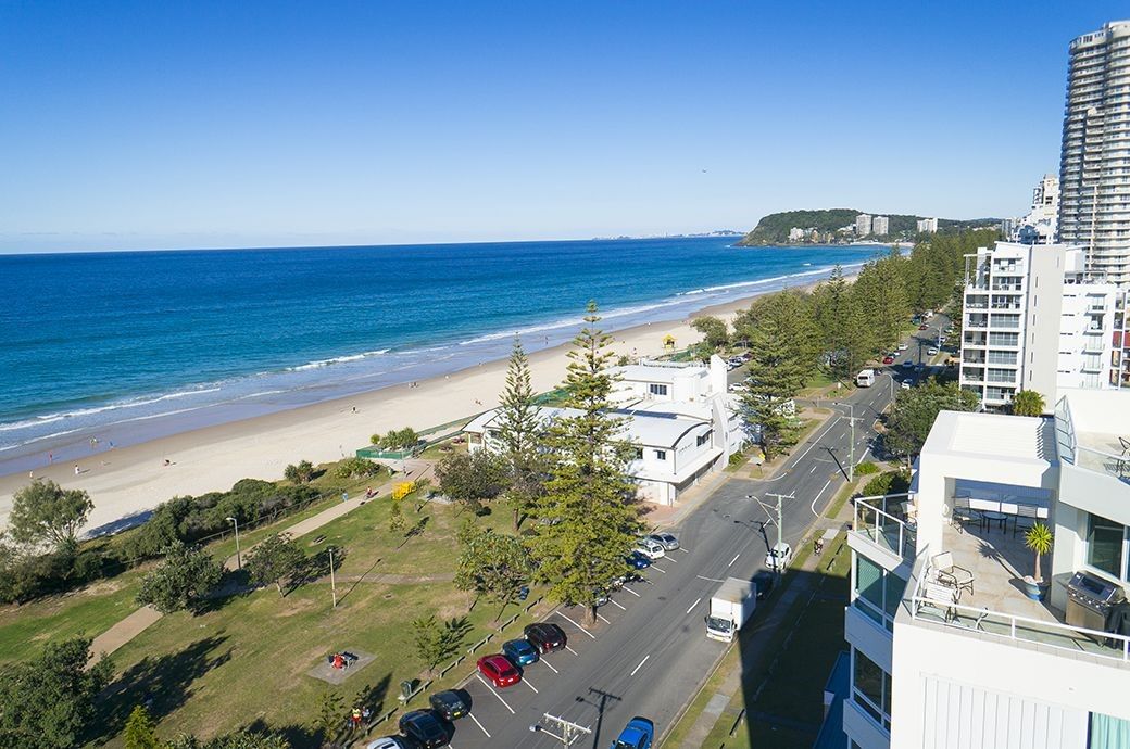
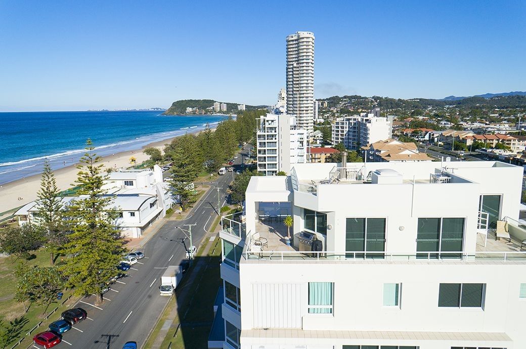
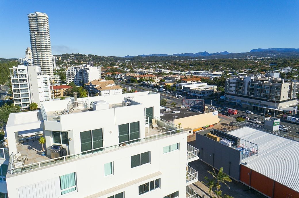
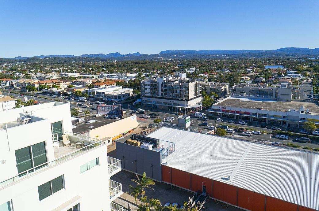
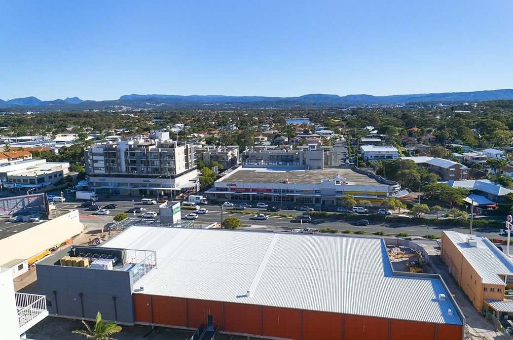
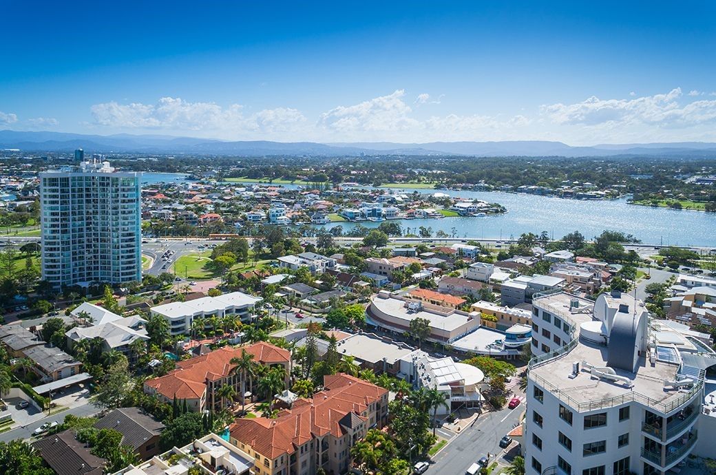
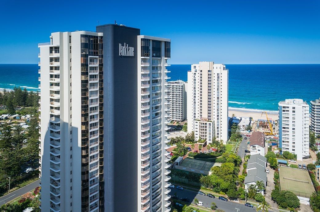
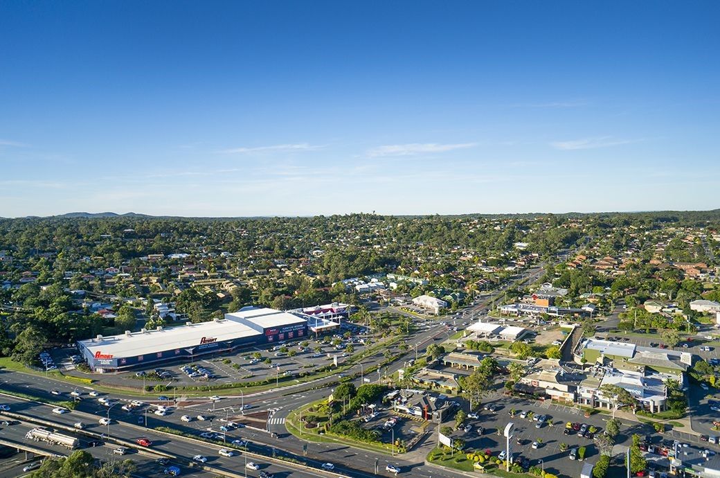
The below 6 image slide shows display examples of perspective view assignments we have completed for our clients. The slide shows display the individual images captured and will either be 360 views or 180 degree views depending on the assignment.
Gold Coast – Burleigh Heads


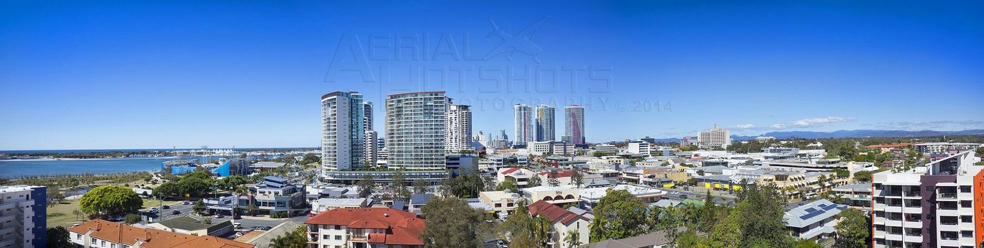
Gold Coast – Main Beach
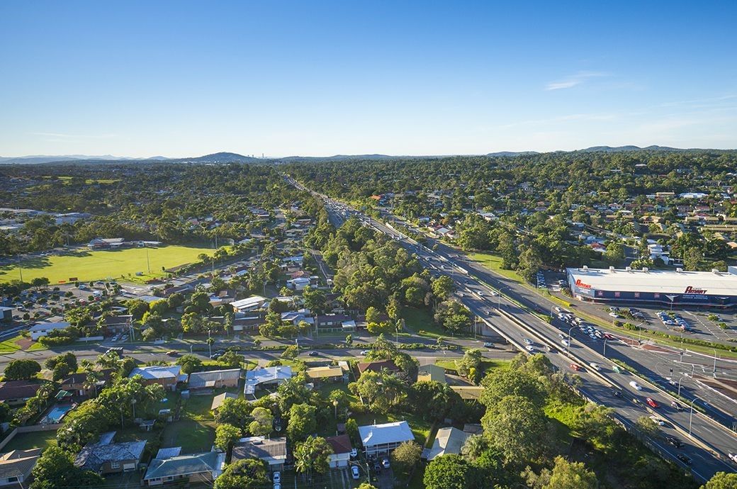
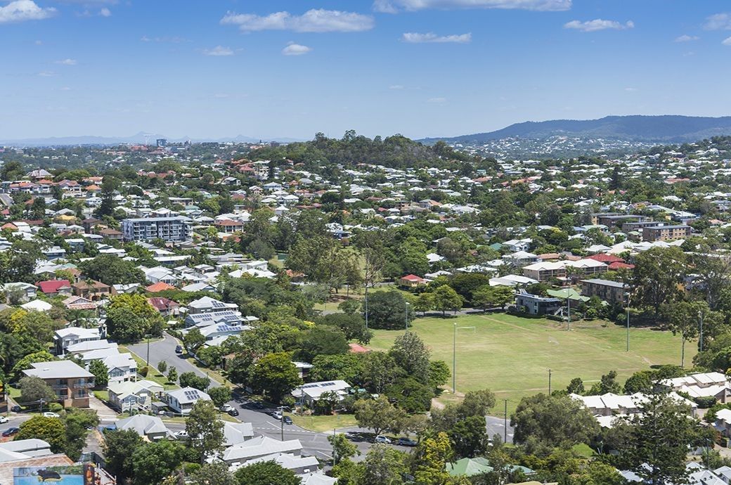
Brisbane – Springwood

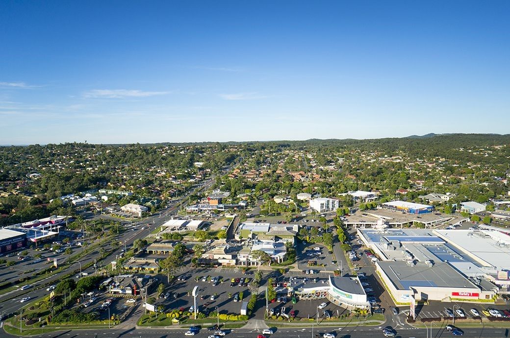
Gold Coast – Harbour Town
Brisbane – Lutwyche
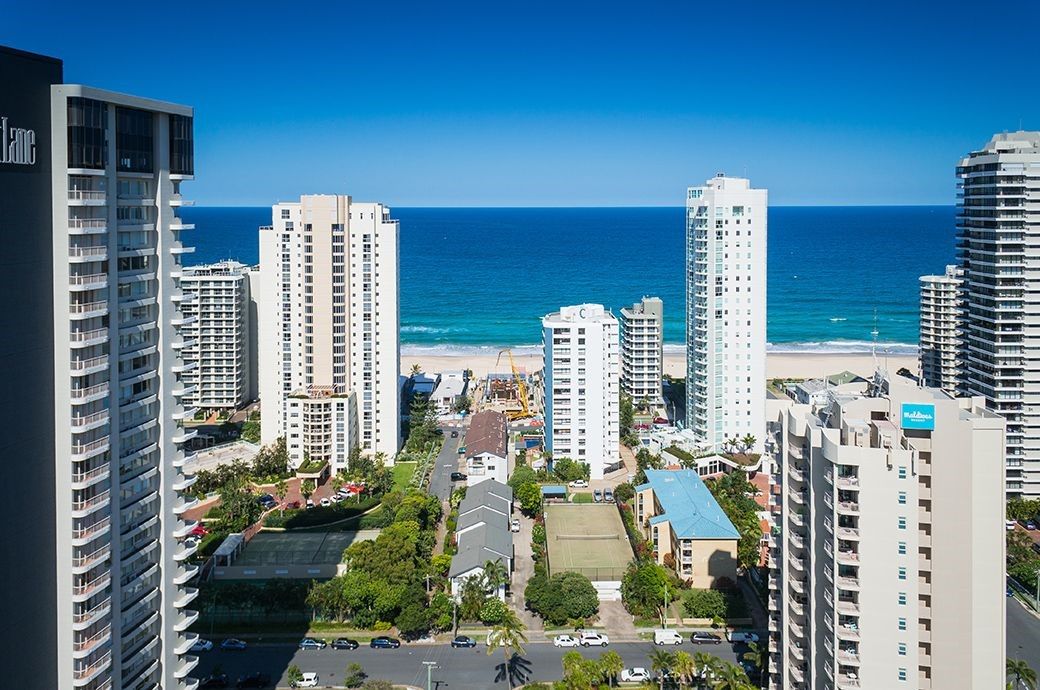
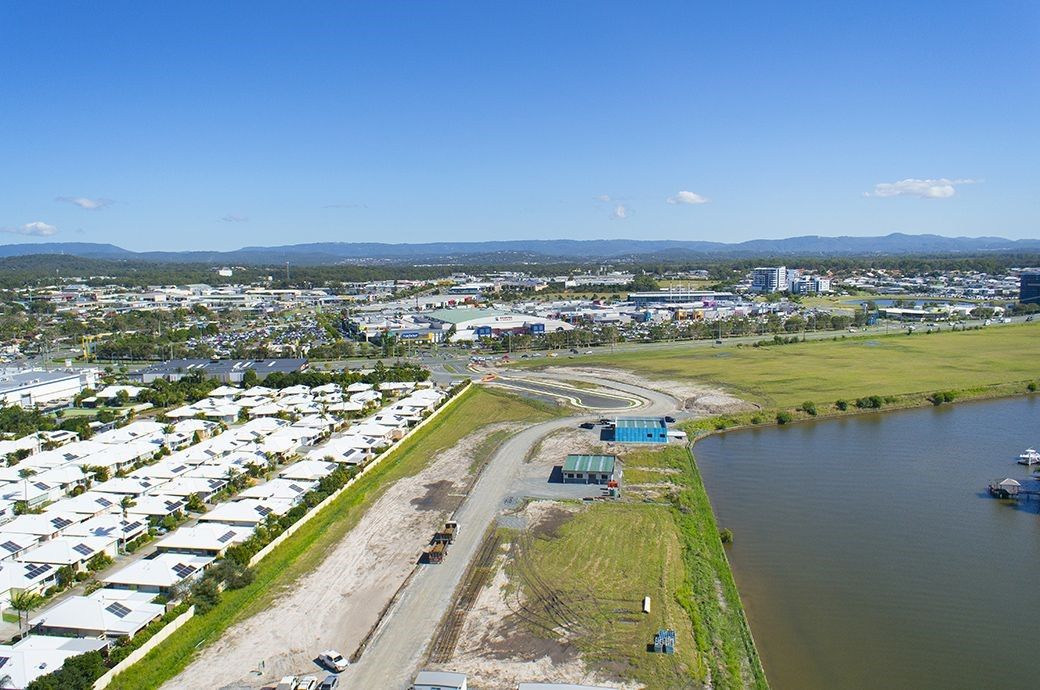
Drone Perspective Panorama Images
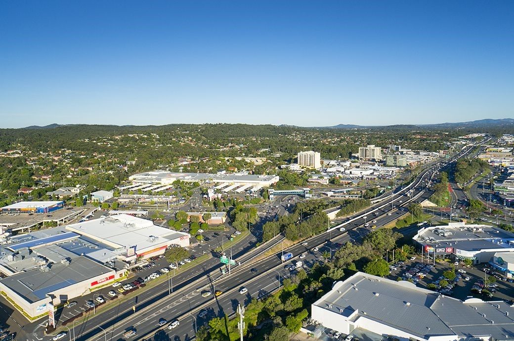
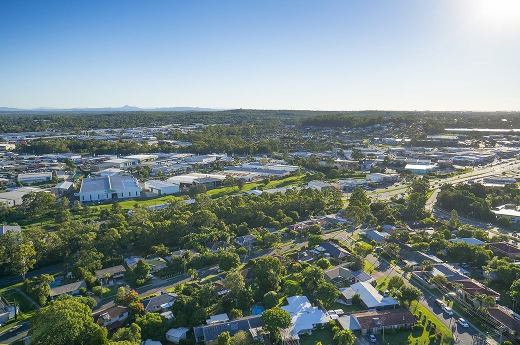
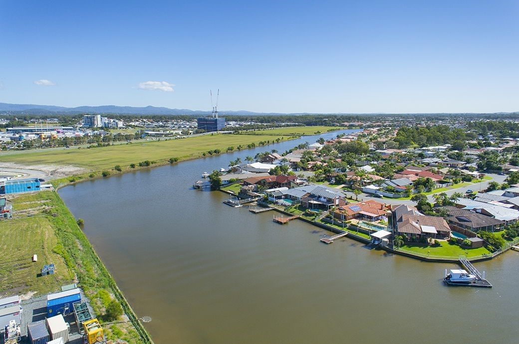
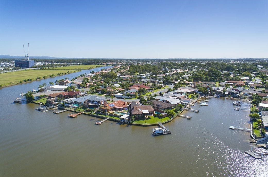
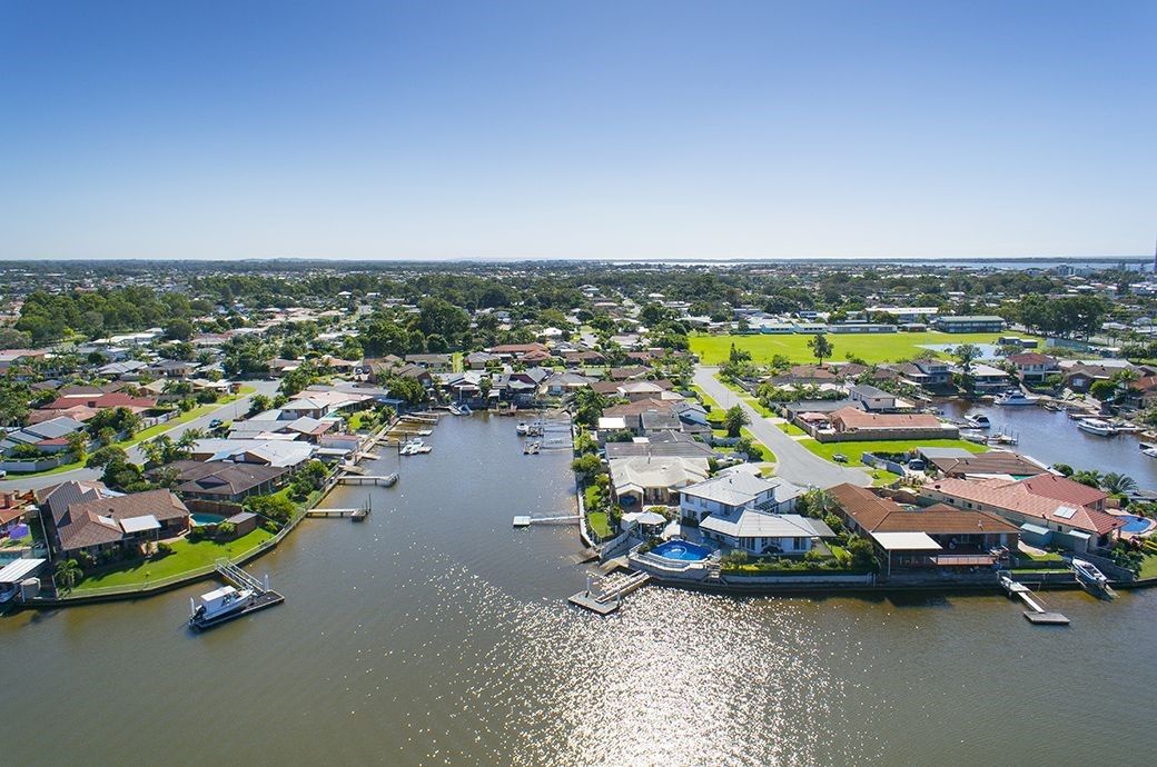
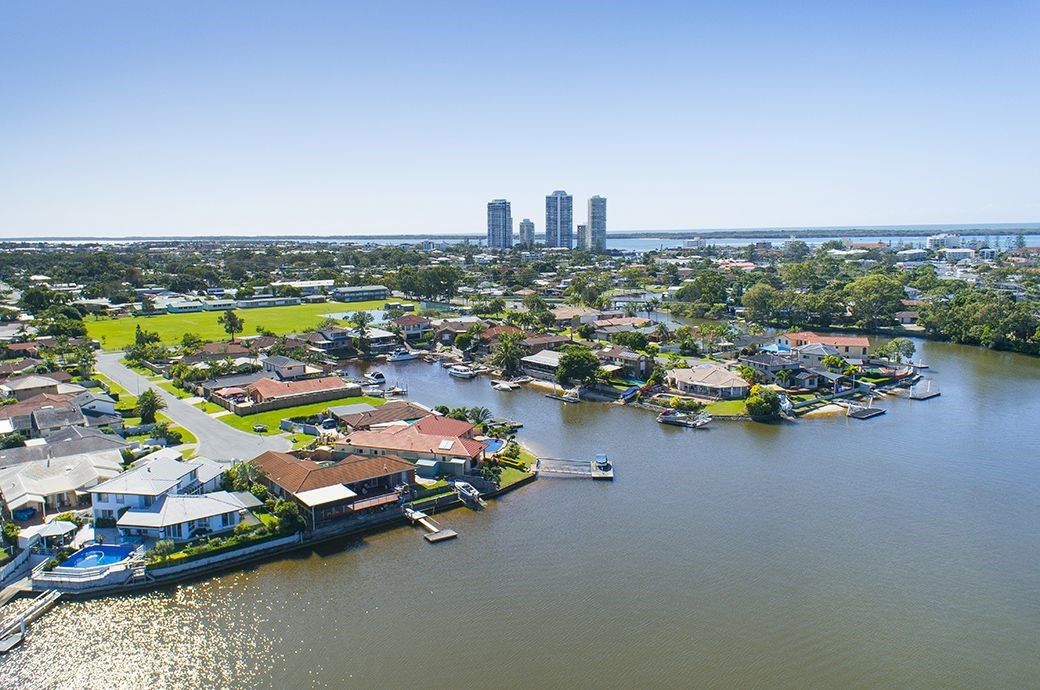
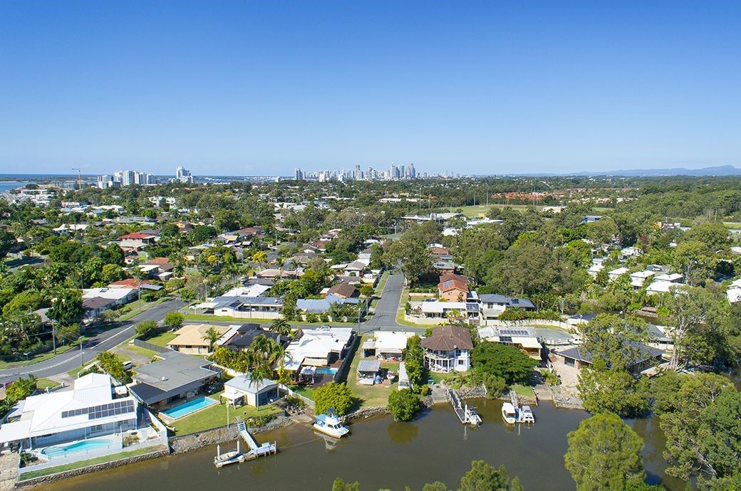
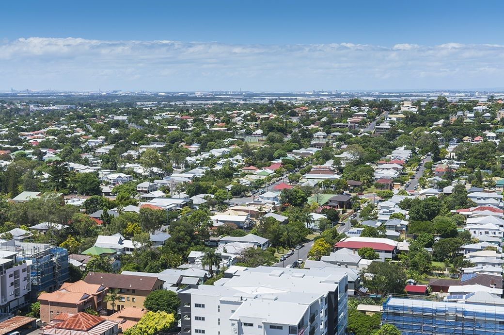
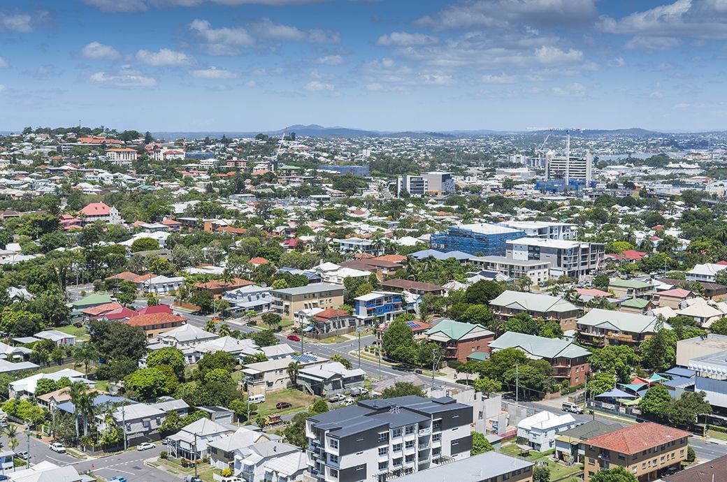
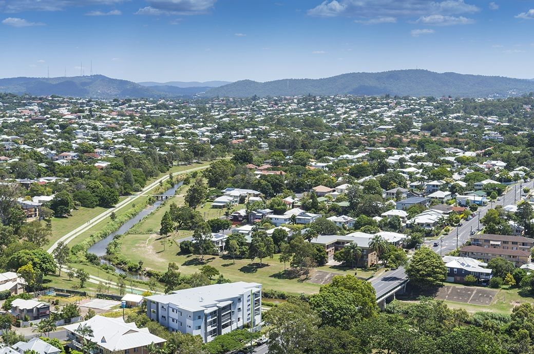
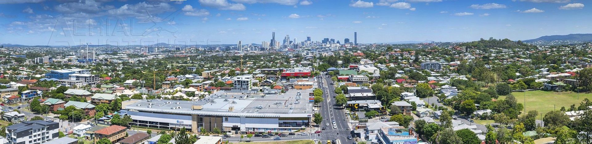
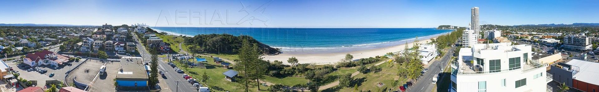
The below images are some examples of what a 360 view look likes when all the individual images are stitched together to produce a panorama. They are awesome and the website does not do them justice.
Drone Panorama Example 1
This is an example of multiple images stitched together to produce a panorama Drone Perspective View.
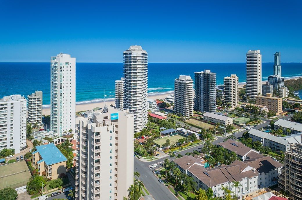
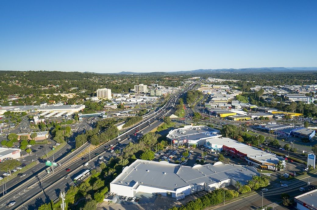
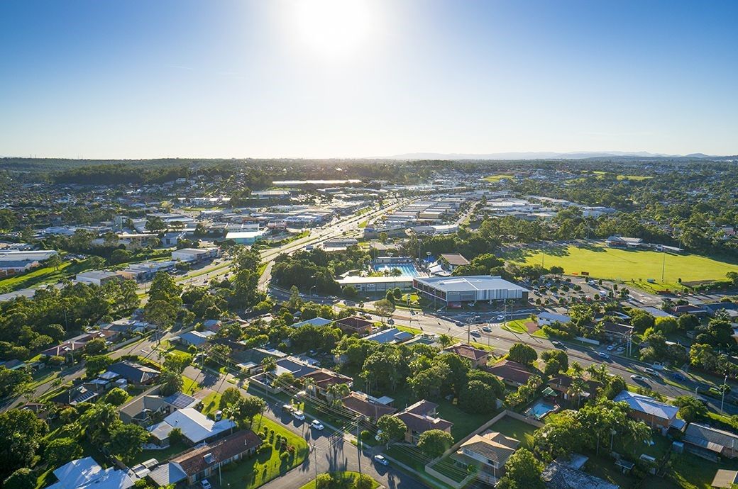
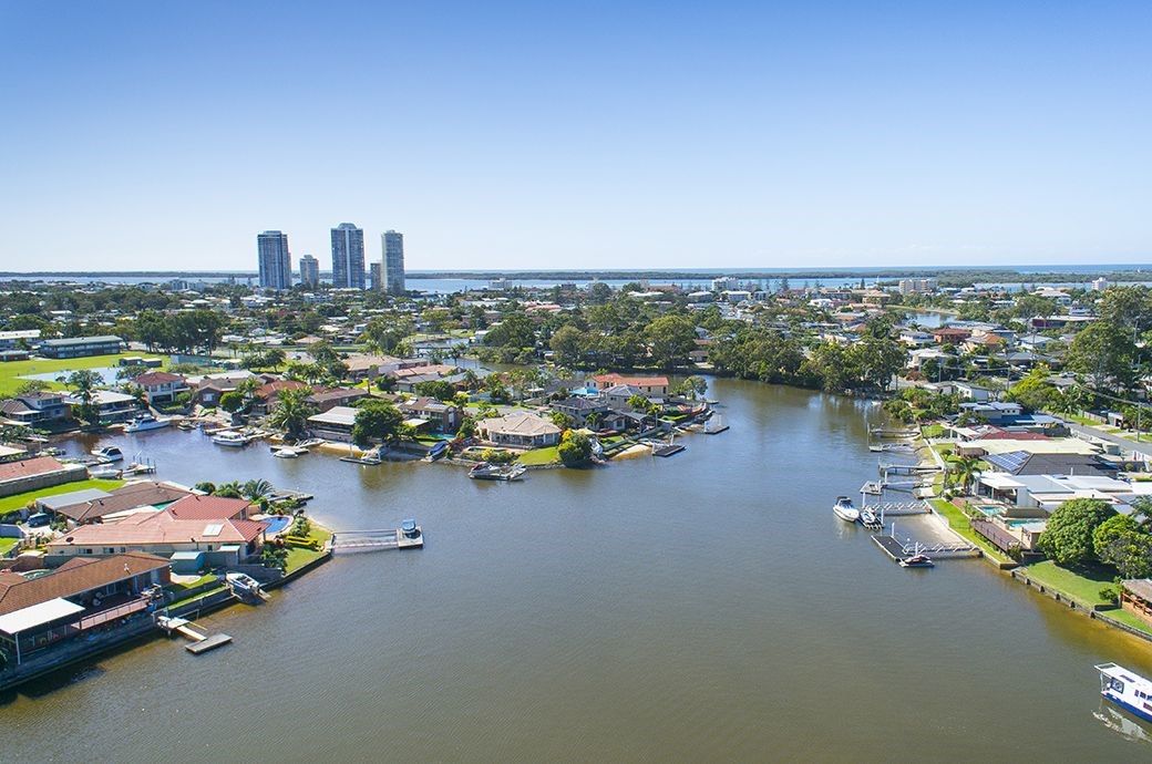
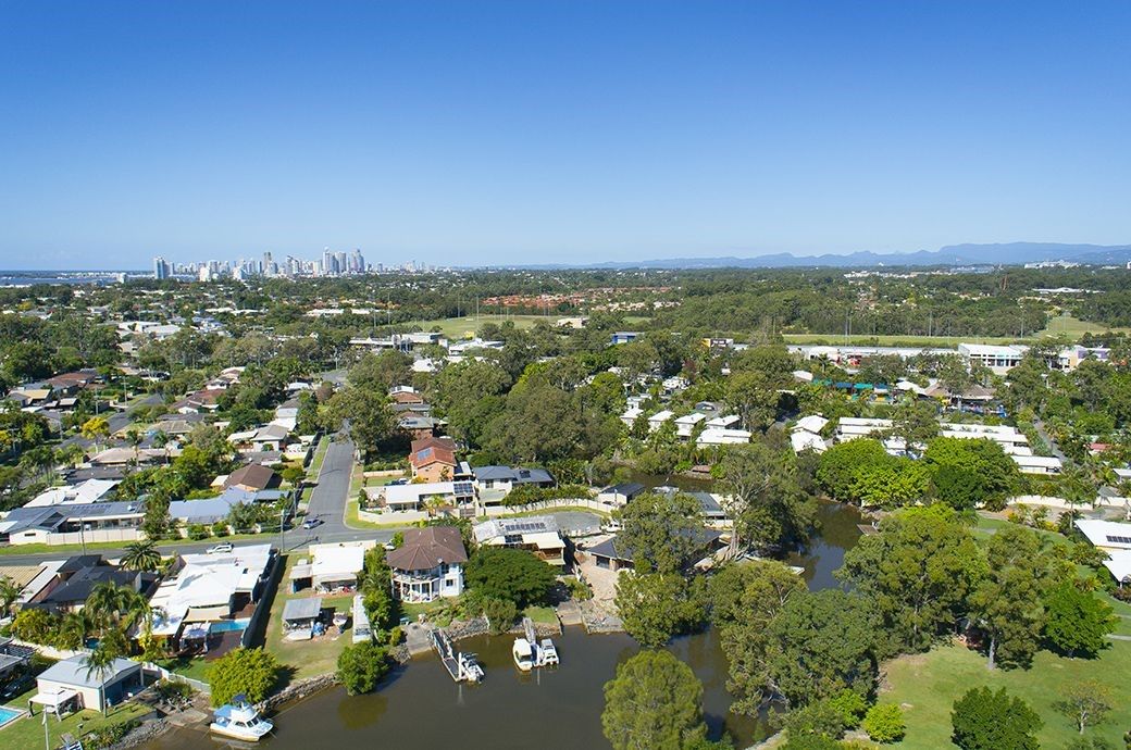
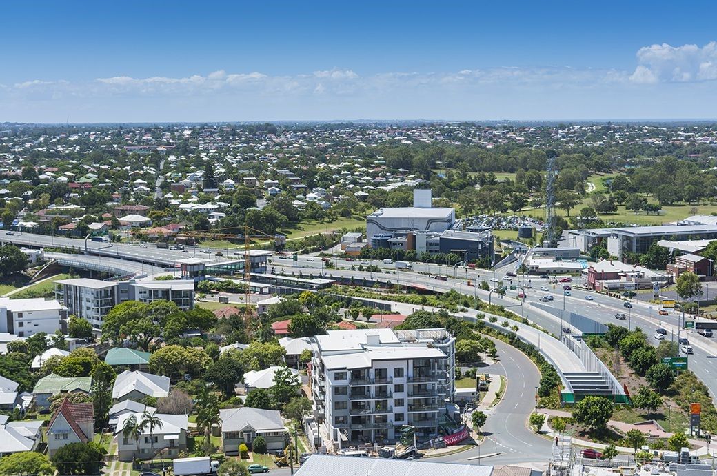
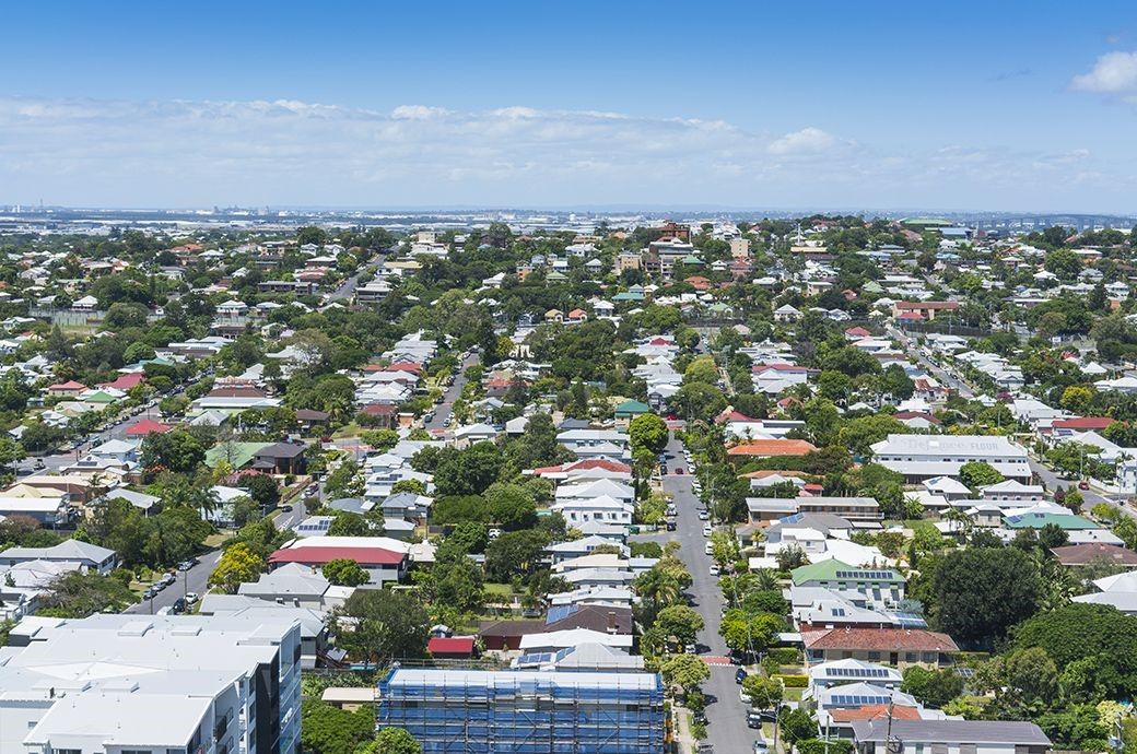
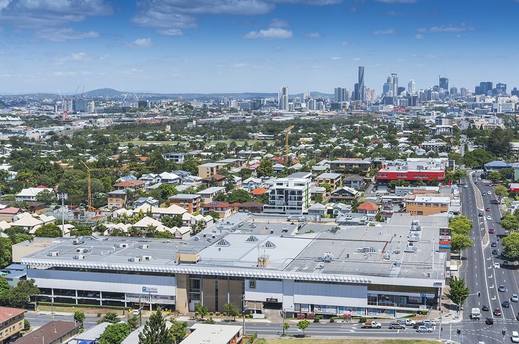
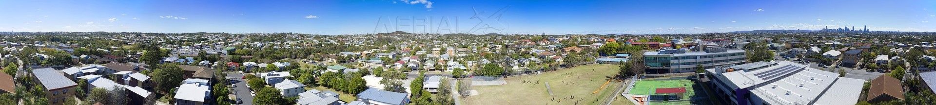
Drone Panorama Example 2
This is an example of multiple images stitched together to produce a panorama Drone Perspective View.
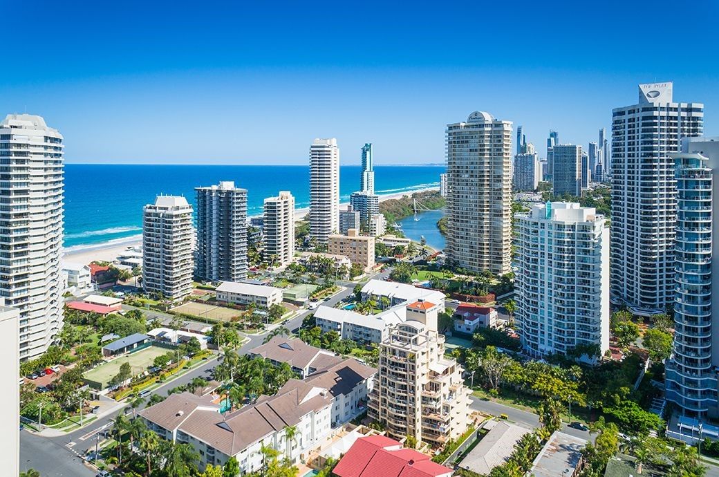
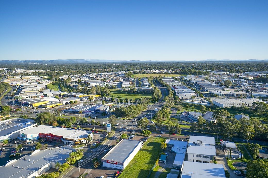
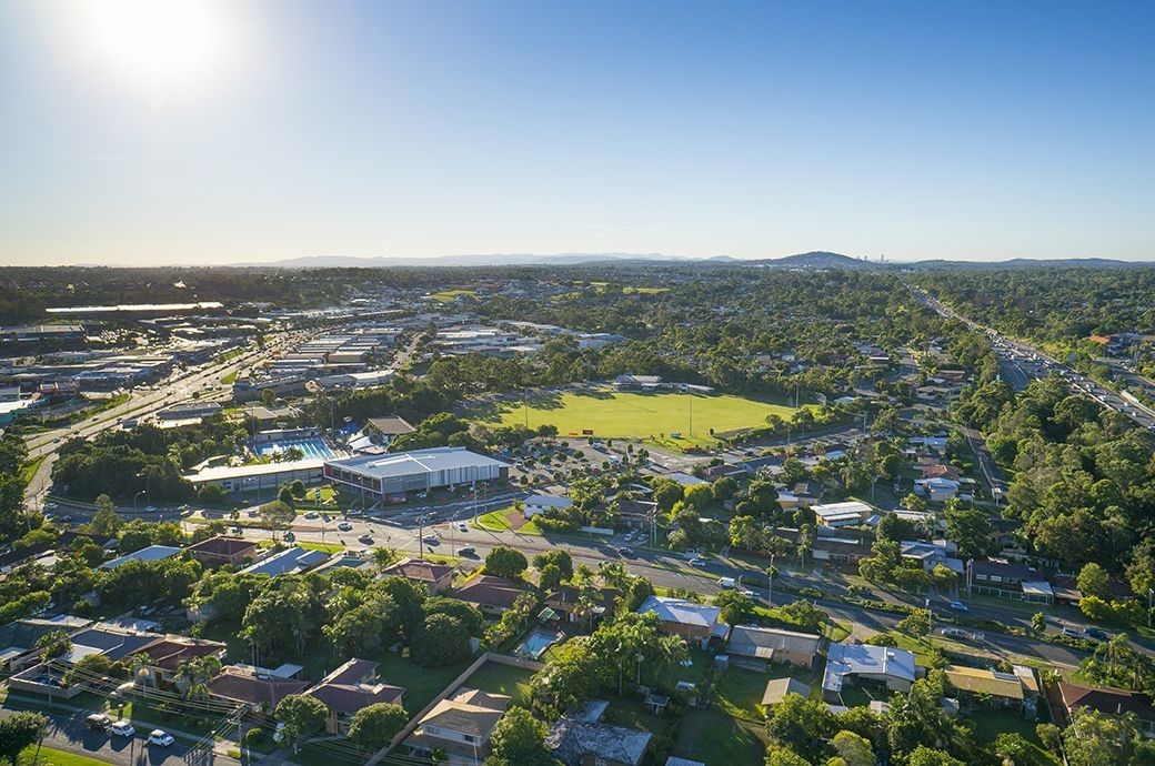
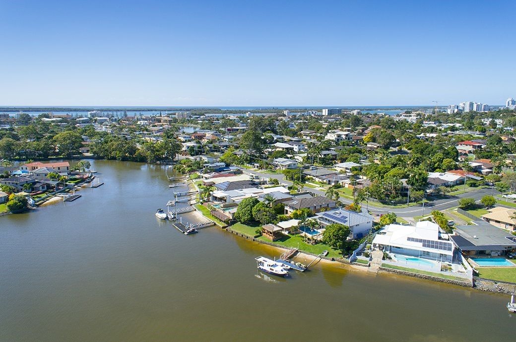
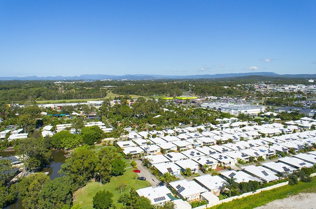
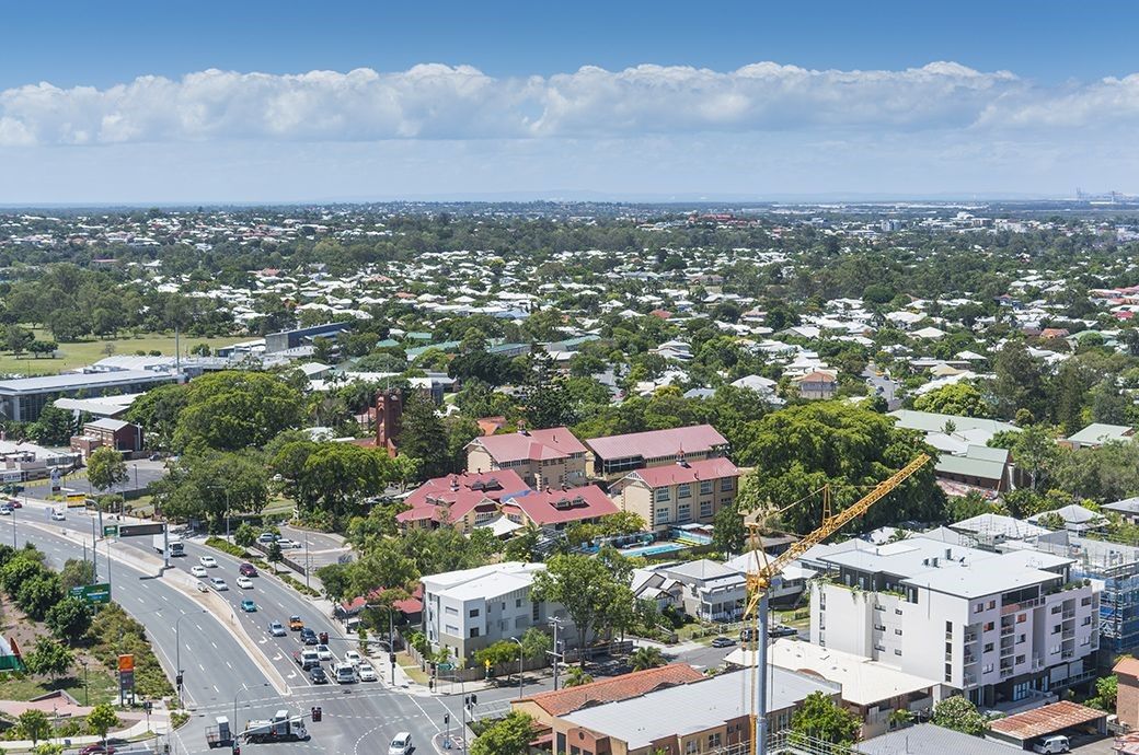
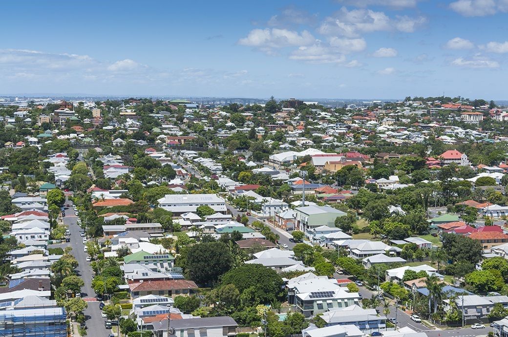
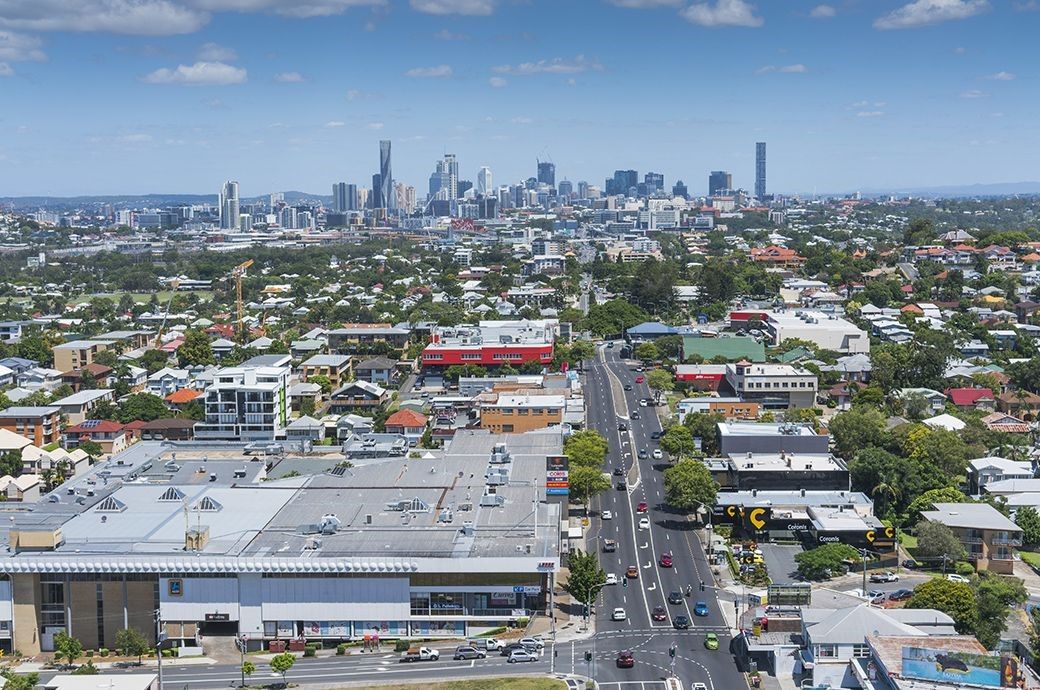
Drone Panorama Example 3
This is an example of multiple images stitched together to produce a panorama Drone Perspective View.
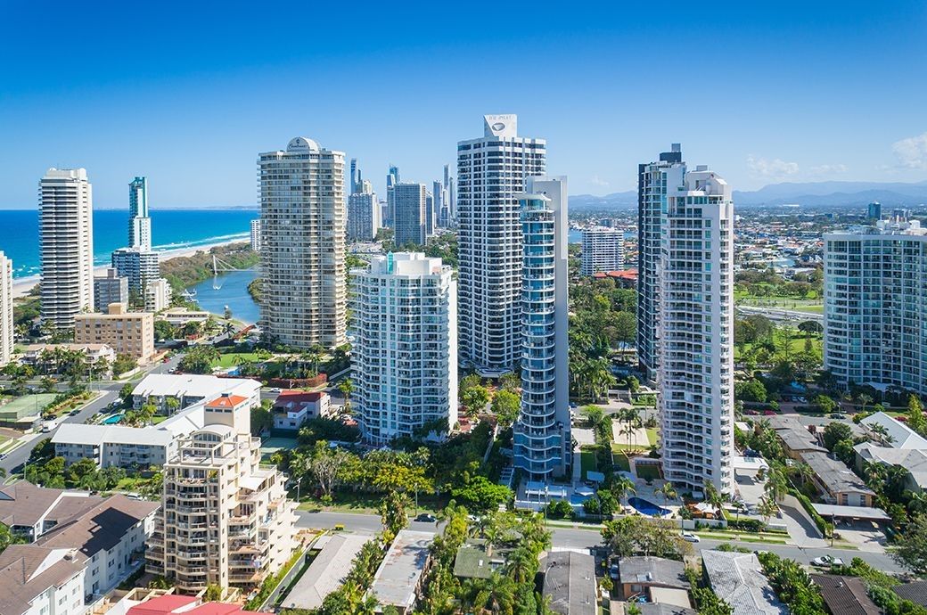
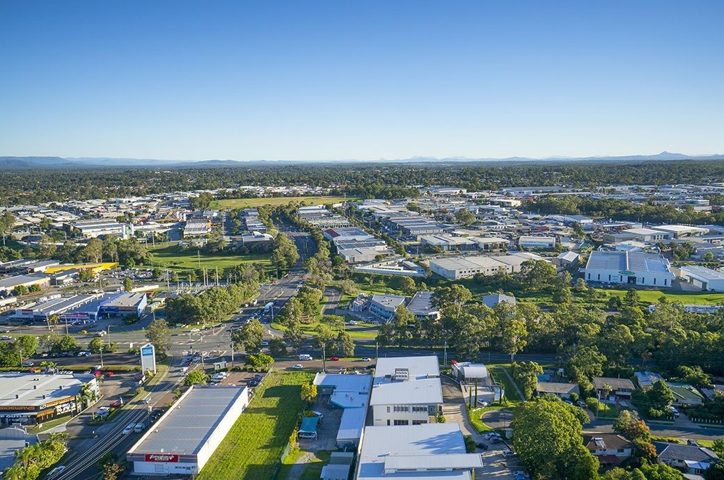
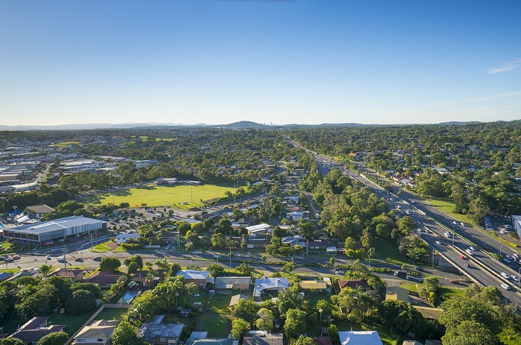
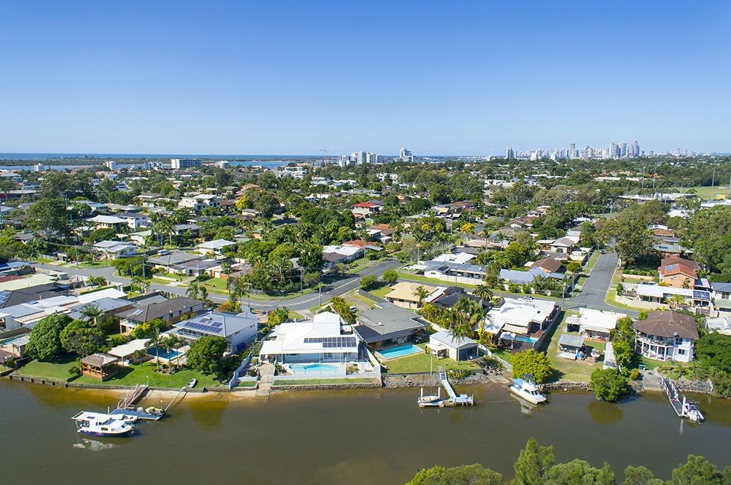
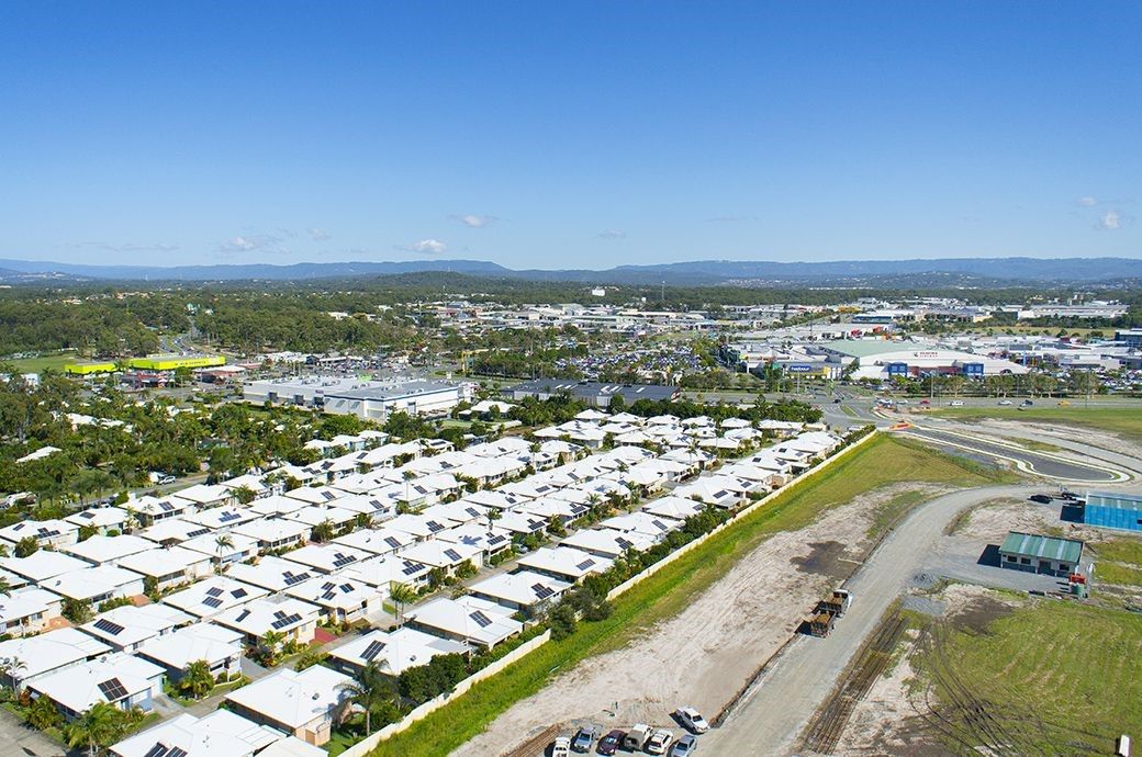
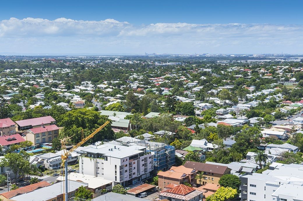
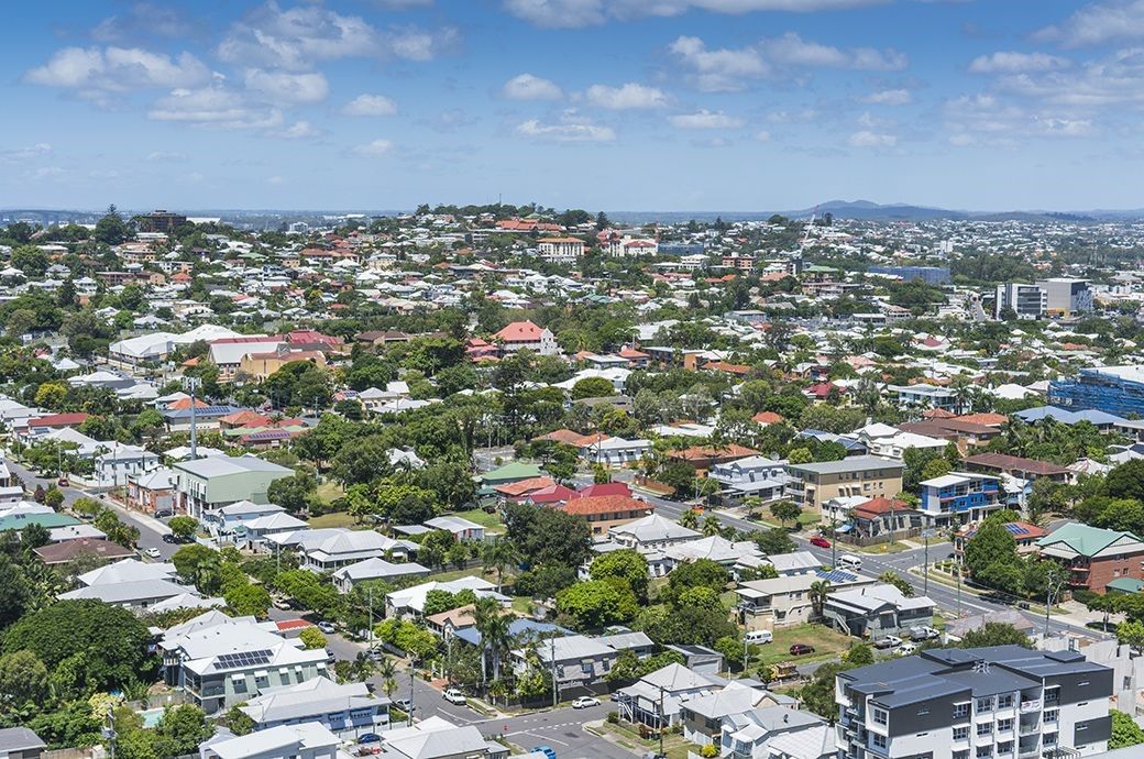
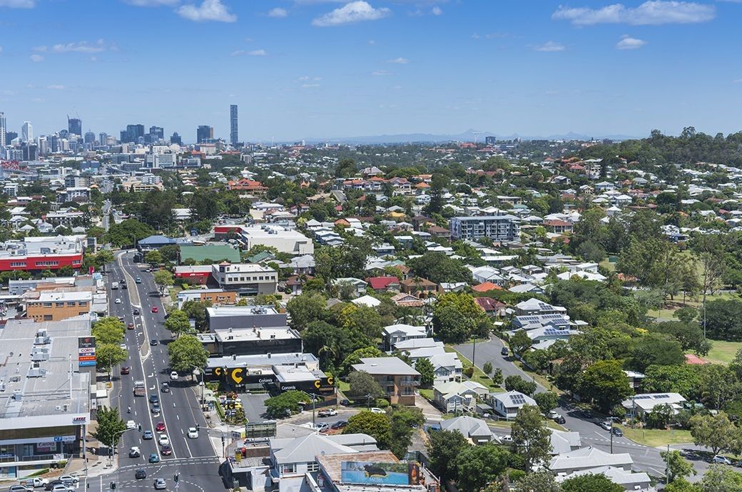
Drone Panorama Example 4
This is an example of multiple images stitched together to produce a panorama Drone Perspective View.
Operational Information
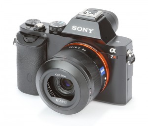
Sony A7R Camera
We use our ‘premium’ photography drones for our perspective view assignments which are fitted with Sony A7R cameras. Some key facts are listed below.
- Sensor Type: CMOS sensor
- Sensor Size: BSI-CMOS 35.9 X 24mm
- Lens: Sony FE 35 mm f2.8
- Sensor Resolution: 36MP
- Movie Format: HD
- Image Recording Format: RAW & JPEG
- Aperture: f2.8 – f22
- Focus: Auto & Manual
- Overall Quality: Absence of an optical low-pass (anti alias) filter on the CMOS sensor produces sharper images. Electronic first front curtain which allows exposure to begin then the mechanical shutter drops to stop exposure. This eliminates the blur that mirror and shutter shock can produce. Backside illuminated CMOS sensor enables greater ISO or low light performance producing superior low light images. This produces smoother images shot at high ISO preserving detail without the characteristic noise and jagged edging
Legal and Safe Operations
There are legal and safety requirements that dictate the number of personnel we deploy to an assignment. The majority of our assignments require image capture from significant height, are in prime populated locations and in or near airspace.
The higher we fly the Drone, the higher the risk should a system fail. We manage these risks by deploying additional personnel, safety controllers and observers, who job is to manage those risks.
It is common that we deploy a minimum of 4 personnel (Pilot, Photographer, Safety Controller and Observer, to these type of assignments to be legal and safe.
On Site Procedure
On arrival at the site the Aerial Hotshots crew will erect signage, set out safety cones and speak to persons who may be affected by the operation such as houses or buildings that we have to fly over. The crew will ensure a 30mtr exclusion is established from the public to ensure the operation is safe and legal. Once this is complete, the crew conduct a job safety and site briefing before commencing operation. The process consists of;
- The Drones is launched from a predetermined safe location,
- The Drone is flown to the required capture point on the site,
- The Drone is then climbs vertically to the right height,
- The camera operator then commences capture the 360 views allowing enough overlap to produce panoramas if required,
- At the completion of the 360 degree capture, the pilot climbs the Drone height to the next capture point,
- This process is repeated until all levels are captured,
- The pilot then lands the Drone.
After the Assignment is Completed;
- Our tertiary qualified photographers process your images,
- We upload your images to our web storage facility that allows you 24/7 Download,
- These images are provided to you without copyright. You have unrestricted usage of the images.
[layerslider id=””]